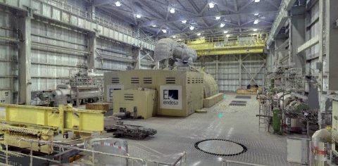
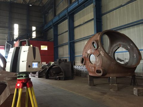
We offer 3D digitalisation services using state-of-the-art measurement and virtualisation technologies.
We have the methodology and techniques for reality capture: laser scanning, LIDAR technologies and convergent photogrammetry.
3D digitalisation enables a 3D file to be obtained in the form of a point cloud based on a physical model.
It is a procedure that enables the shapes and colours to be captured from the surface of an object, creating a digital replica.
The most noteworthy services are:
Orthoimages:
- Floor.
- Elevation.
- Cross-section.
Vector Images:
- 2D Planimetry in CAD.
- Wireframe 3D models.
3D Models.
- T-Spline or NURBS models.
- Polygon mesh models.
- BIM Modelling.
- PDS or PDMS Modelling.
3D Data Analysis
- Calculation of complex surfaces and volumes.
- Analysis of complex geometries.
- Analysis of deflections.
- Clash Detection
3D documentation.
- Virtual Visits.
- Immersive 360º environments.
Aimed at:
- Architecture studios.
- Engineering firms.
- Construction companies and developers
- Public Administrations