Tecnalia
Smart City: Technologies and innovation for a more sustainable, resilient and inclusive city
ENERGY TRANSITION
Almost 75% of GHG (Greenhouse Gas) emissions originate from or are directly related to activities in cities. It is therefore necessary to propose actions that contribute to reducing consumption, improving efficiency and making greater use of renewable energies while maintaining services to citizens and their well-being.
To do so, the starting point must be a proper diagnosis of the situation in order to understand how they are consumed and emitted. This will allow the urban transformation factors to be established appropriately in order to meet the challenges of the energy transition in our cities.
We are working on analytical tools and methodologies that combine:
- The energy dimension of the city of today
- Foreseeable evolution over 10-20 years
- Ex-ante analysis of the different potential solutions
In this way, direct, indirect and induced impact can be determined on an environmental, economic and social scale.
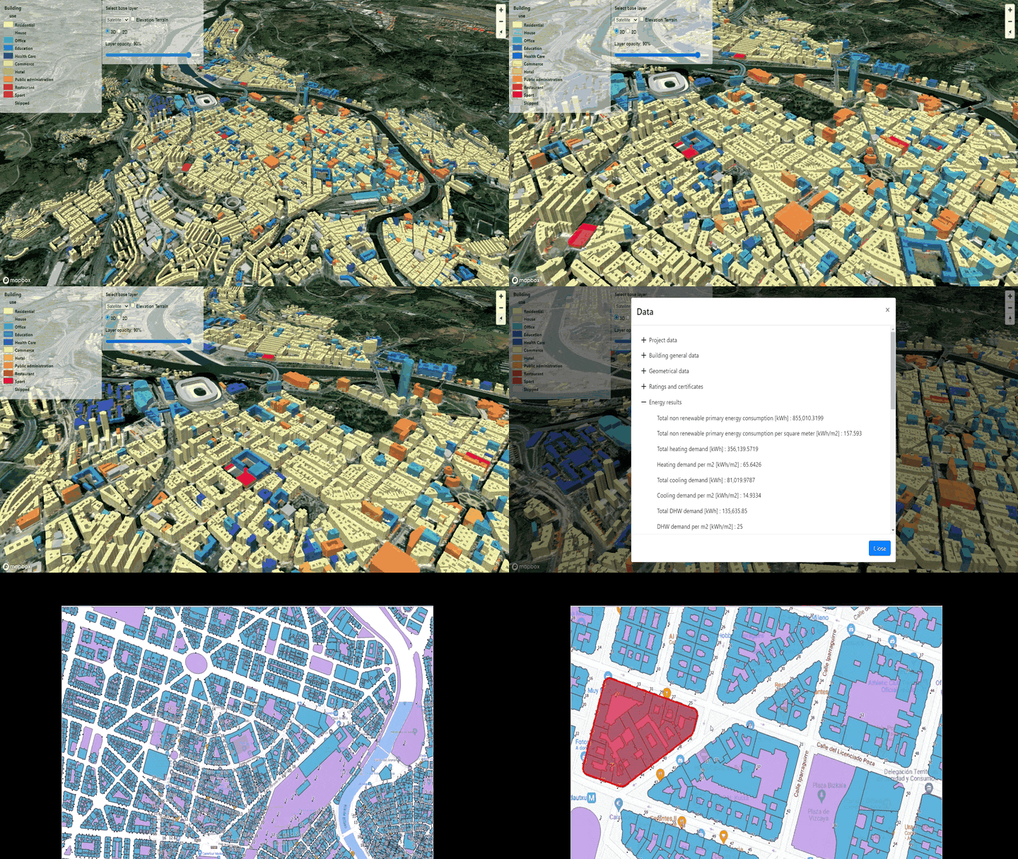
We have applications to diagnose the building stock of cities.
These enable energy demand to be modelled at the level of each building, including their energy systems and incorporating all the geo-referenced information of these buildings:
- consumption,
- energy certificates,
- Technical Building Inspections and/or rehabilitations carried out
- etc.
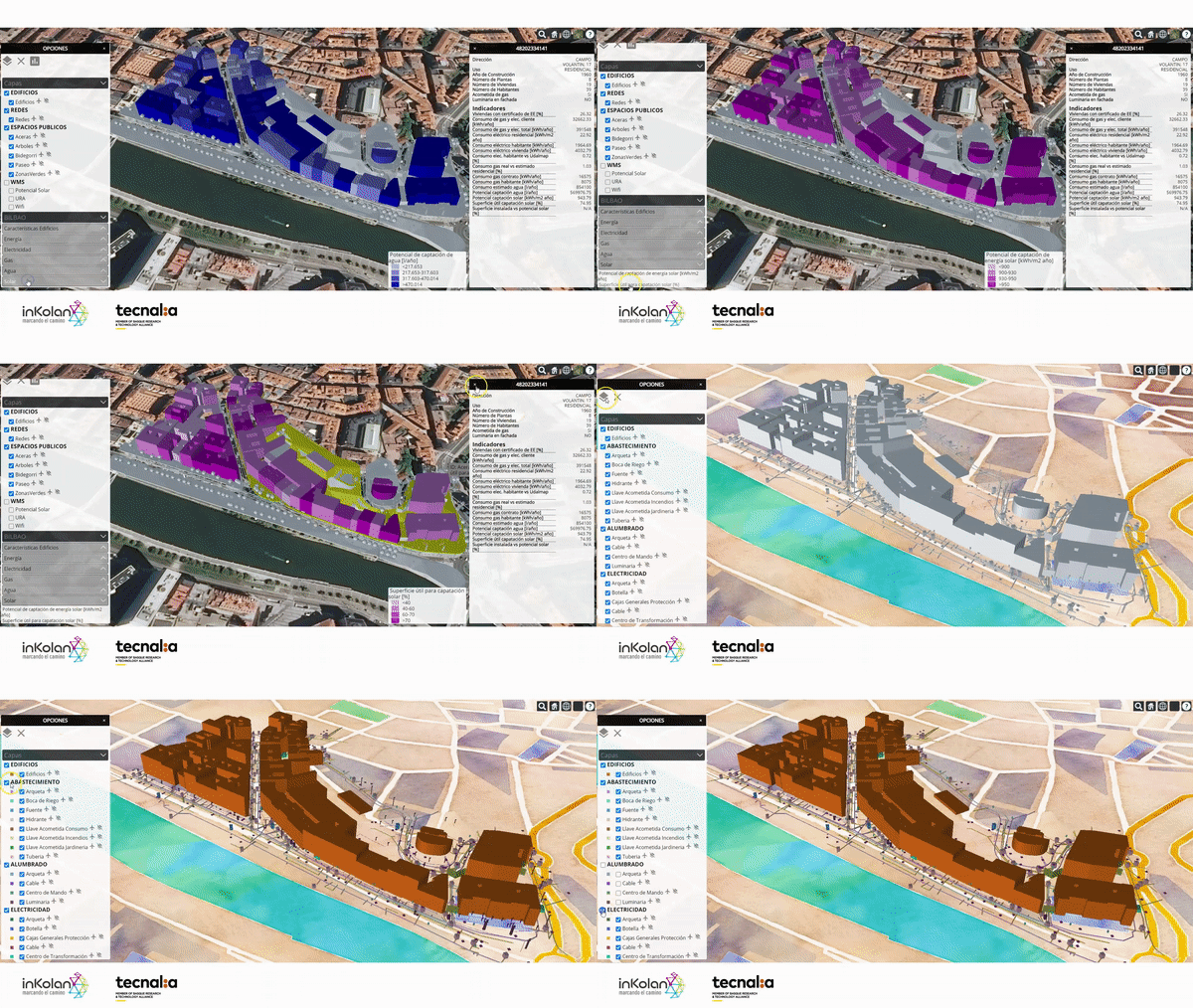
They also enable the potential installation of renewables in the city to be assessed.
Our applications and calculation methods assess the surface solar resource and its potential use with renewable technologies in districts, municipalities or counties.
- We create high-resolution maps that quantify the incident solar radiation on every square metre of surface, whether on building roofs, public spaces or on the ground.
- Consideration is given to orography, slope and orientation, urban mesh and shading between constructive or natural elements
- We obtain additional indicators such as:
- useful surface area for the installation of solar photovoltaic and/or solar thermal technology
- the installable power or achievable annual renewable generation; classifying areas and rooftops according to their suitability for renewable deployment.
Our ENERKAD solution calculates annual and hourly energy demand and consumption at building, district or city level, through energy simulation. It allows for the analysis and comparison of current and future scenarios based on the application of different strategies.
The results can be combined with other TECNALIA developments, such as energy demand maps of the building stock, interrelating renewable generation and local consumption.
We develop tools for the diagnosis of the energy performance and rehabilitation potential of urban buildings.
- The simulation of energy performance is based on existing data, building typologies and energy simulation algorithms,
- The rehabilitation potential incorporates urban rehabilitation solutions and renewable energy generation potential.
All of this is based on 3D geospatial information models.
The main features of the tools include:
- 3D urban model generation
- Simulation of the energy performance of buildings
- Calculation of renewable energy generation potential
- Enforcement of environmental and urban restrictions
- Generation and editing of solutions catalogue
- Identification of rehabilitation opportunities
ADAPTATION TO CLIMATE CHANGE
The risk of impact related to climate change arises from the interaction of the hazards associated with the climate itself (including extreme events and trends of change) with the vulnerability and exposure of human and natural systems.
Adaptation enables conscious and plannedproactive and anticipatory actions to be defined, based on scientific and technical evidence and a deliberate and consensual political decision-making process, to cope with the effects of climate change, minimise its impact and exploit the opportunities of this phenomenon.
Adaptation is a global challenge on a local scale, but many of the solutions and responses to adapt to the impact of climate change come about at the city level.
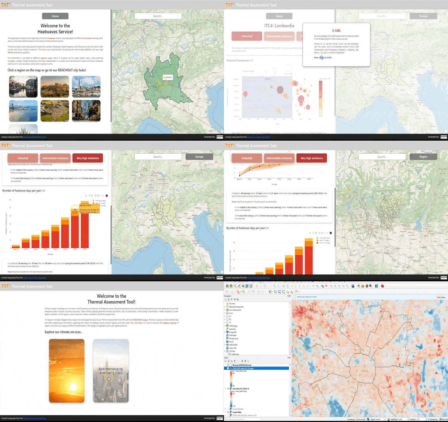
Our applications enable the thermal performance of regions and cities to be assessed and visualised during extreme heat events.
Climate change causes an increase in the frequency and intensity of heat waves. They are amplified in urban areas due to the heat island effect. The consequences are environmental, social and health-related.
Thanks to the climate data management capabilities of the Copernicus Climate Change Service and in line with the Intergovernmental Panel on Climate Change (IPCC),
- we can determine the future evolution of the frequency and intensity of heat waves compared to the historical period for any part of the world,
- we analyse the thermal performance of cities by processing high-resolution satellite images .
All this information has already been used by European regions and cities to improve adaptive capacity, the design of adaptation plans and regional policies.
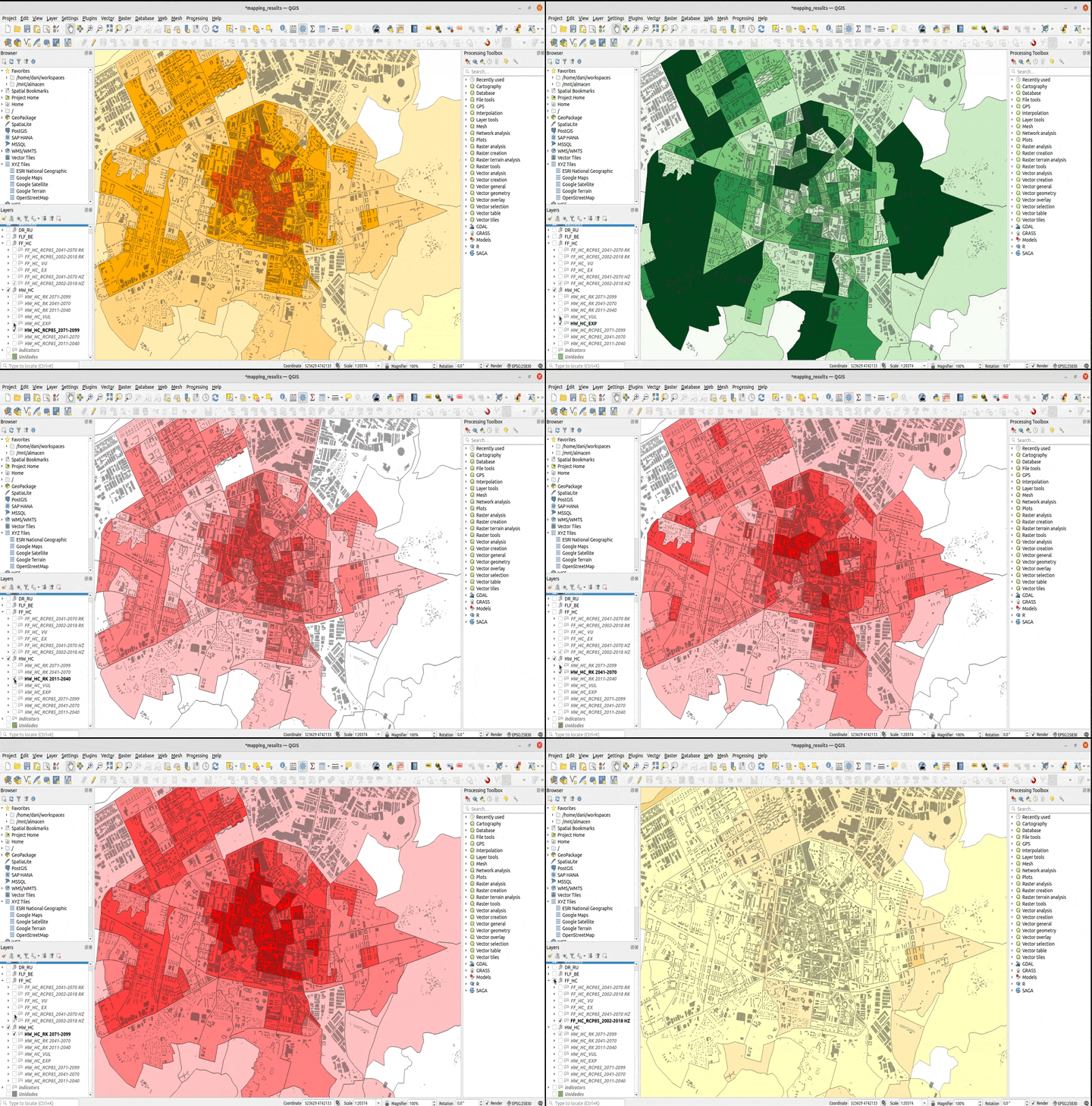
We have applications that enable us to assess and identify the areas of a municipality that are most at risk of different impacts and where specific adaptation actions will be prioritised.
We have created an adaptation plan that incorporates:
- Carrying out a detailed statistical and spatial analysis of data corresponding to regionalised climate scenarios and spatially explicit territorial and socio-economic indicators.
- Vulnerability and risk assessment, considering the main impact that may occur as a result of climate change.
The results of this assessment help to identify the areas of the municipality that are most at risk of different impact and where specific adaptation actions will be prioritised.
We work with public administrations to promote innovative nature-based solutions to promote effective adaptation to climate change.
We develop applications to address urban resilience by combining:
- satellite data via Copernicus,
- on-site observations
- modelling results.
The applications can identify the potential for a city to accommodate green roofs on its buildings, taking into account issues such as:
- the slope of the roofs
- the load-bearing capacity of buildings
- prioritising those roofs that have the greatest impact on combating extreme temperatures and flooding.
We provide technical support to administrations and companies for the analysis of the thermal effectiveness of proposed interventions with nature-based solutions.
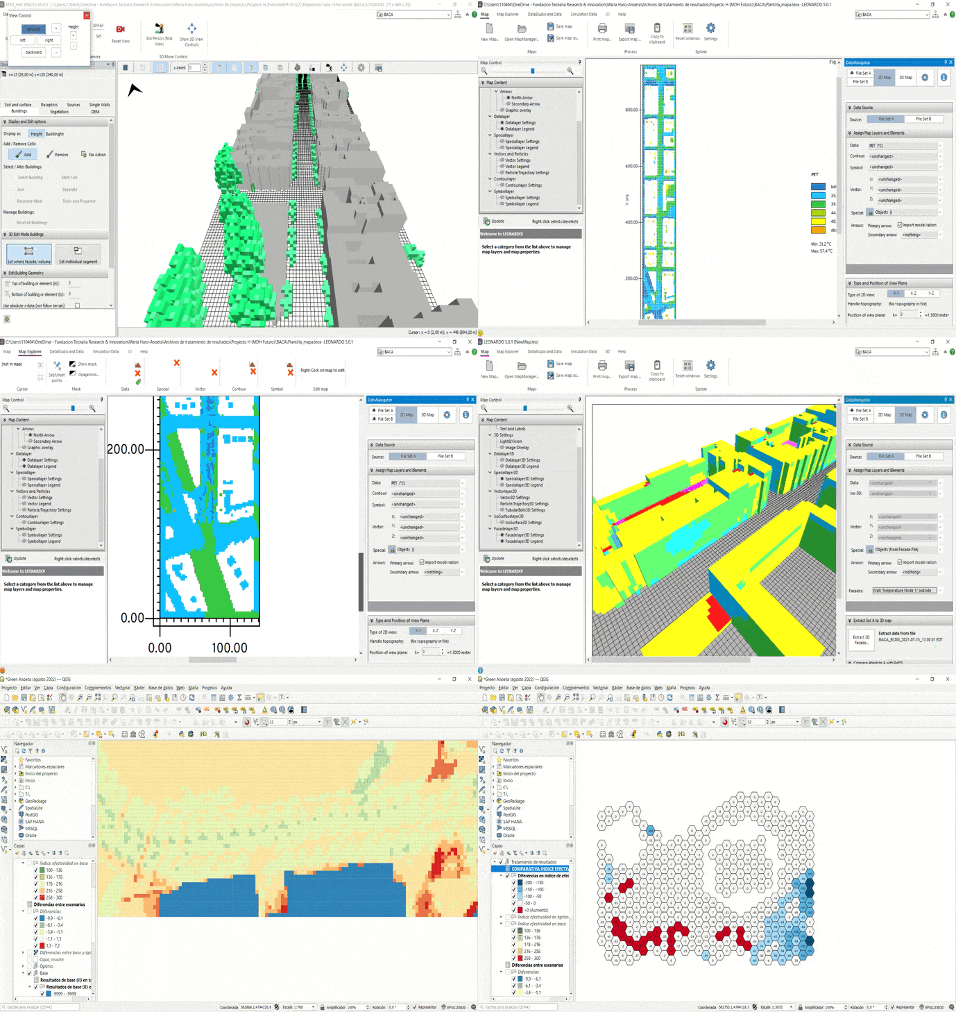
To obtain micro-scale thermal comfort levels, the choice of climate parameters is assessed:
- considering the modelling of the urban mesh,
- the choice of climate parameters
- visualisation of different scenarios:
- prior to the project,
- the situation after the work has been completed and
- one in which the location of the solutions is configured to optimise their positive impact on comfort.
The results identify the areas with the highest and lowest degree of heat discomfort and the application of effectiveness indices.
It helps cities adapt to future climate challenges by comparing urban design alternatives in terms of their resilience.
URBAN REGENERATION AND HISTORIC HERITAGE
The conservation of our urban heritage requires sustainable strategies that improve the quality of life of its inhabitants by upgrading the inherent sustainability of historic areas. We approach this challenge from a multi-scale vision that enables us to support the selection of energy rehabilitation strategies that are coherent and compatible with the architectural and heritage values of historic urban environments.
The introduction and growth of tourism activities in cities and their proper management involve major challenges for urban policies, especially in terms of congestion and pollution, citizen enjoyment and life, the imbalance between different areas and the overloading of cultural assets.
Our technology enables us to identify and manage historic environments.
- We combine the use of 3D semantic models with replicable methodologies that address the entire life cycle of the regeneration process
- We identify and manage regeneration strategies for specific environments of high heritage value in different information availability scenarios.
We develop solutions for tourism management based on data that generate a real flow of information to improve policies, practices and decision-making focused on sustainable development, diversifying tourism activities and promoting tourism based on social, cultural and environmental sustainability.
Some of these solutions include:
- Application to guide the user on the most suitable strategies and actions in their specific case. Facilitate the selection of the aspects to be evaluated in order to measure the impact of cultural tourism in the medium-long term.
- Platform that integrates data collected in real time through a network of sensors. It enables the manager to access information on-line, monitor and act immediately should any risk be detected.
- Devices that enable the content displayed in the different facilities distributed throughout the city or territory to be personalised intelligently and automatically in order to offer a more advanced service to tourists. Provide the environment manager with information, statistics and graphs of use, preferences and capacity, measuring the number of consultations, time of use, the duration of each session, the number of times each language has been listened to and much more.
Our innovative software addresses heritage protection and climate change adaptation, prioritising vulnerable historic environments.
With advanced decision-making tools, urban improvements are facilitated from diagnosis to monitoring. By using the data, analysis and models, our planners assess scenarios, identify opportunities and make informed decisions for the community.
The software calculates the risk of each heritage element (floods, heat waves, etc.) and proposes solutions taking into account:
- Cost preferences
- Impact on heritage values
- Installation time.
In this way, we offer a comprehensive approach to building resilient, inclusive and inhabitable cities.
Our solutions enable the safe, simple and cost-effective assessment of the effects that changes may have on the urban environment.
- Starting from a map of the location to be transformed and a library of products, they design and redefine public spaces and visualise the final result.
- They prioritise the most suitable locations according to social, environmental or economic criteria.
- They enable decisions to be made before starting any work and solutions to be found that are best suited to the needs of cities.
Digital tools for location design and prioritisation enable city managers to make decisions according to the needs of the city and its context.
ENVIRONMENTAL QUALITY
In smart cities, the challenges of urban environmental quality are key to ensuring sustainable and healthy urban environments. Efficient management of air and noise quality, as well as its pollutant sources are key.
The implementation of smart technologies, such as environmental sensors and real-time monitoring systems, is presented as a solution. Furthermore, the transition to smart and sustainable mobility is essential to reduce emissions and improve air quality. Addressing these challenges involves collaboration across sectors and innovation in urban design, thus promoting smart cities that prioritise environmental quality for the well-being of their inhabitants.
We apply digital tools to provide managers of transport infrastructures or urban environments with a comprehensive vision of environmental variables.
- They address atmospheric and acoustic quality, along with the pollutant sources that determine it.
- We offer a modular digital solution:
- Ability to interpret and analyse data collected by sensors,
- Use of pollutant simulation results in virtual models,
- Makes the virtual model dynamic in response to user interaction and/or real-time sensor data.
We offer customised applications for advanced data analysis of environmental variables that transform them into management value.
- They analyse dynamically and in real time the behaviour between parameters.
- Quantify combined indicators to identify sequences.
- They detect atypical behaviour or anomalous scenarios.
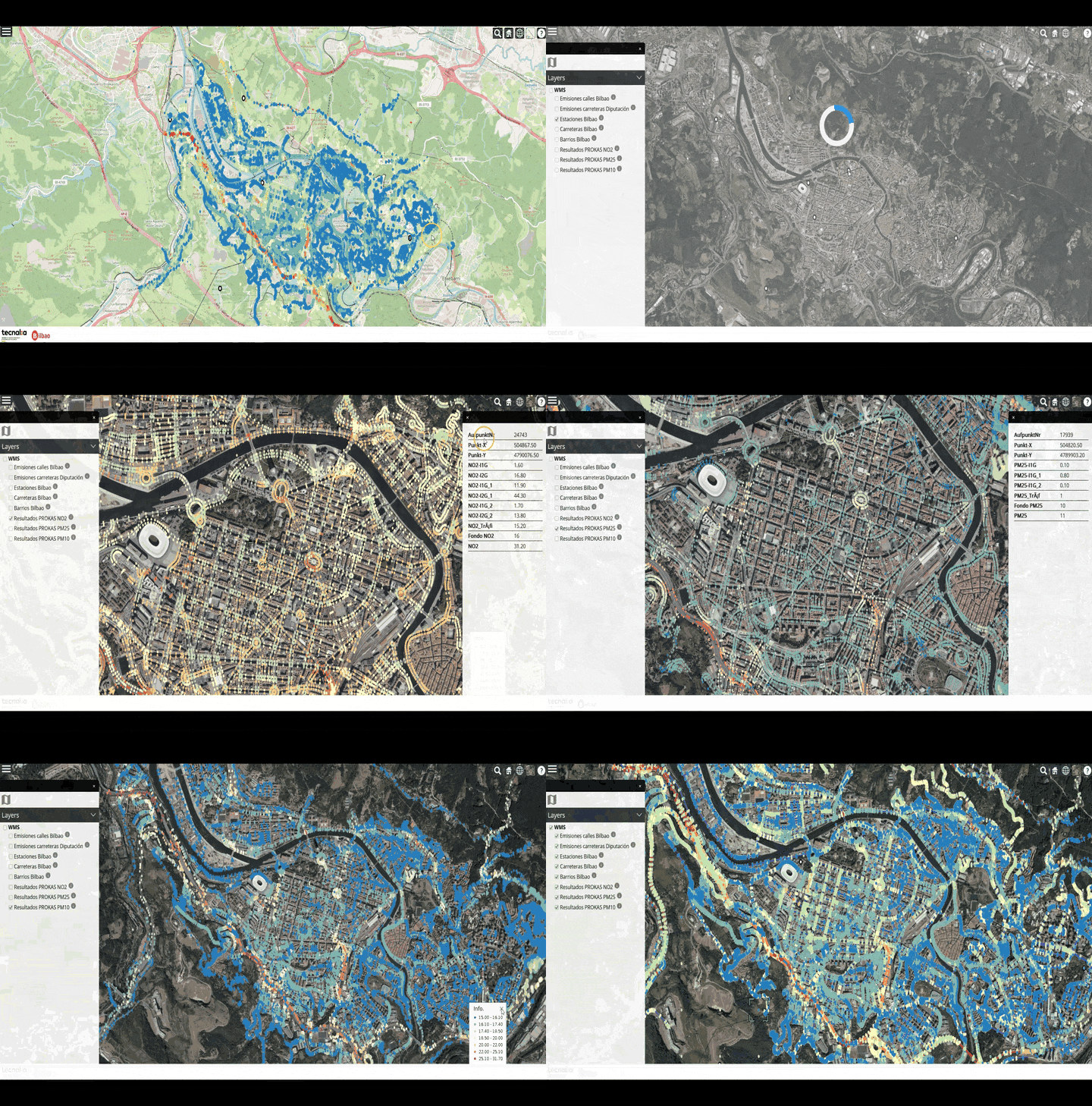
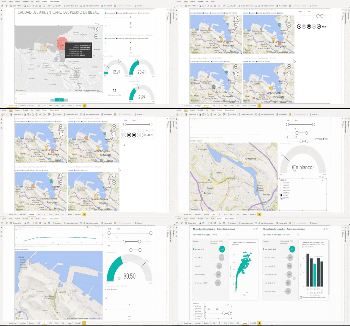
We have created a dashboard that enables geo-referenced historical data on pollutants in the greater Bilbao area to be consulted, evaluated and analysed. These are concentrations of NO2, PM10, and PM2.5 caused by emissions from road traffic, industrial activities and the residential and services sector.
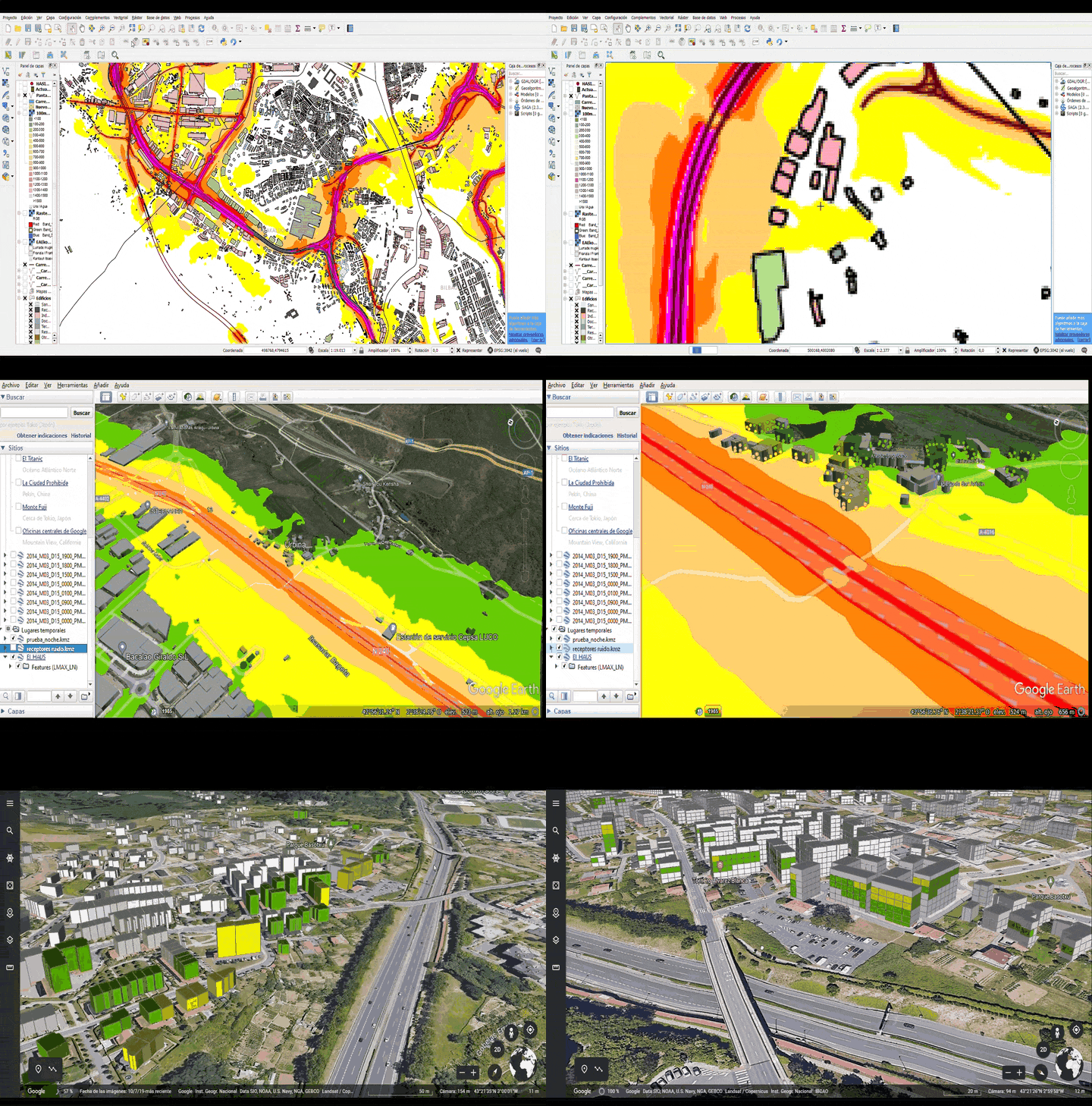
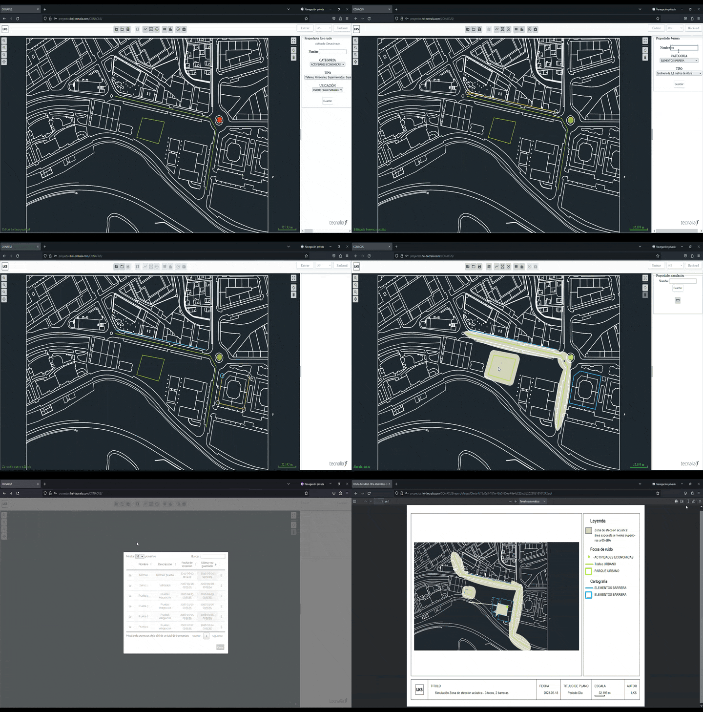
The digital environmental solution enables the results from acoustic simulations in virtual models to be used.
- The results of the noise maps are displayed in 3D, including the effect on the surrounding buildings, as well as the input data that characterise the infrastructure (pavement, traffic, etc.) and that determine the levels in each period.
- It facilitates the efficient management of the effects, both for the management of consultations with citizens or other agents (town councils), as well as for the selection of areas for action and the dynamic management of prioritisation criteria.
- It presents an example of a Tool for the Sound Analysis of Transport Infrastructures (HASI), specific to different road and rail managers.
We are investigating the integration of criteria in urban planning to assess acoustic comfort in public spaces.
- We develop indicators that combine subjective and objective evaluations to assess the soundscapes of our environments.
- The indicators are applied in tools for citizen observation of the environmental quality of city spaces and to make proposals for the distribution of uses in public spaces and to analyse their acoustic compatibility.
- The web application allows for the simplified identification of the areas most exposed to noise in the project area.
It provides the urban planner with spatial results that help to locate activities that require quieter soundscapes.
The digital environmental twin represents simulations of real-life scenarios of pollutant emission and propagation conditions
- It supports management decisions, such as the activation of action protocols based on predictions determined either by the activity of the sources or by weather conditions.
- It shows the simulation of pollutants in the area of the Port Authority, representing scenarios of solid bulk movement in different meteorological conditions.
MANAGEMENT OF URBAN TECHNICAL NETWORKS
The management of urban technical networks faces a number of challenges today, marked by the increasing complexity of modern cities. One of the main challenges lies in the need to maintain and improve the existing infrastructure, such as water supply systems, electricity grids and public transport, while coping with the pressure of urban growth and the changing demands of the population.
Sustainability is another key challenge, as cities seek to adopt greener and more resource-efficient practices. The implementation of smart technologies for real-time monitoring and predictive network management is essential.
Furthermore, coordination between different sectors and stakeholders, such as local governments, private companies and the community, is crucial in order to address the problems comprehensively.
In short, managing urban technical networks involves balancing operational efficiency, sustainability and resilience, while adapting to an ever-changing dynamic urban environment.
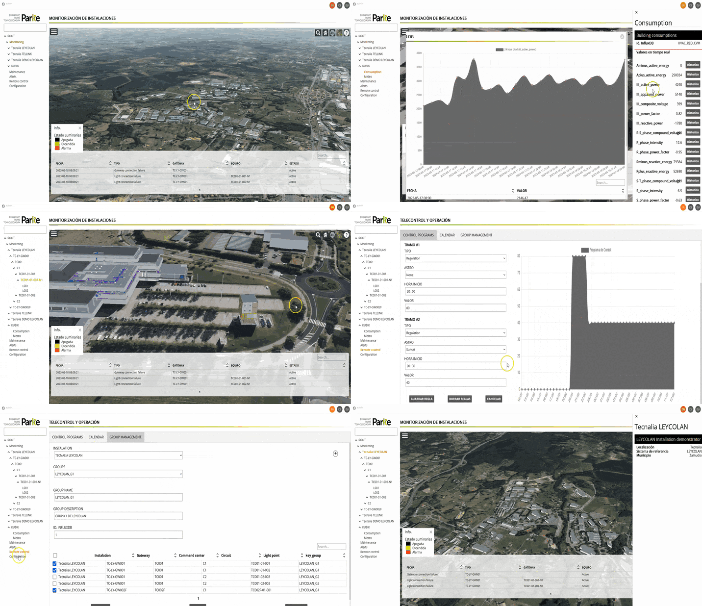
The virtual replica of the main elements of the city, such as infrastructures, buildings or trees, enables us to understand and analyse what is happening in the city and interact with it from the virtual model.
It also allows us to model, simulate phenomena and make decisions based on the expected impact. The digital twin enables us to improve urban planning and management:
- It provides an integrated view of the different elements of the city.
- It enables impact to be assessed in the virtual model, before acting in the real space.
- It allows the use of resources to be optimised.
- It provides an intuitive visualisation that facilitates the understanding of results.
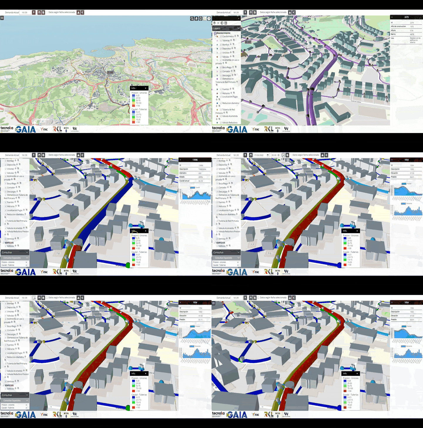
We develop management solutions through Digital Twin for the monitoring and diagnosis of the elements and processes of the city’s water supply network, based on 3D Geo-referenced Information Systems.
They incorporate visualisation, monitoring and simulation capabilities, including, most notably:
- 3D geo-referenced inventory by layers (Network and Built Environment).
- Network connection with the built urban environment.
- Network status diagnostics.
- Geo-referenced monitoring of network elements in real time (pumping stations, tanks and flow meters).
- Simulations on the network infrastructure based on Epanet.
We develop integrated management applications for the design, monitoring, maintenance and operation of resilient, efficient and interoperable urban lighting networks.
We do this by means of a semantic 3D model of the actual technical networks and installations and the digitisation of the infrastructure. The main features include:
- Real-time data integration and visualisation.
- Integration of advanced simulation systems.
- Anticipation of network events.
- Resilience and energy savings.
- Lighting design in road infrastructure.
URBAN MOBILITY AND ACCESSIBILITY
As cities and their inhabitants evolve, so do their needs and requirements. Today, ensuring the accessibility of the urban environment through sustainable mobility has become a fundamental requirement on the agenda of all cities.
While addressing accessibility presents great challenges, especially in the physical field, opportunities offered by new technologies in terms of urban planning and accessibility are also being identified.
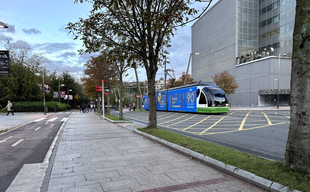
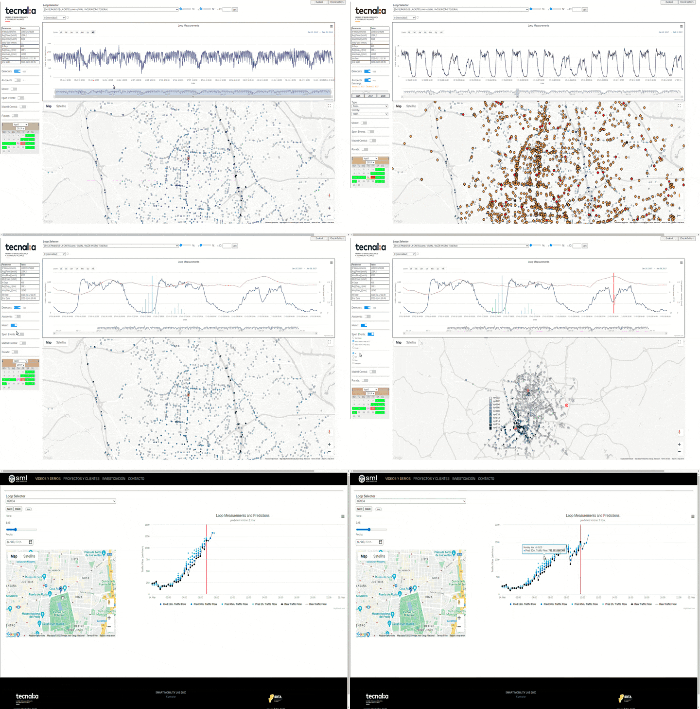
We carry out rapid prototyping of intelligent traffic management applications and systems in urban and inter-urban areas.
- It is aimed at increasing the level of intelligence in mobility management systems, through advanced tools for analysing, simulating and predicting traffic information.
- We have a fleet optimisation system with routing and groupage.
- Ability to consider heterogeneous fleets, with low emission zones, prioritisation of end-customers and variable service times.
Our solutions facilitate decisions to improve urban accessibility.
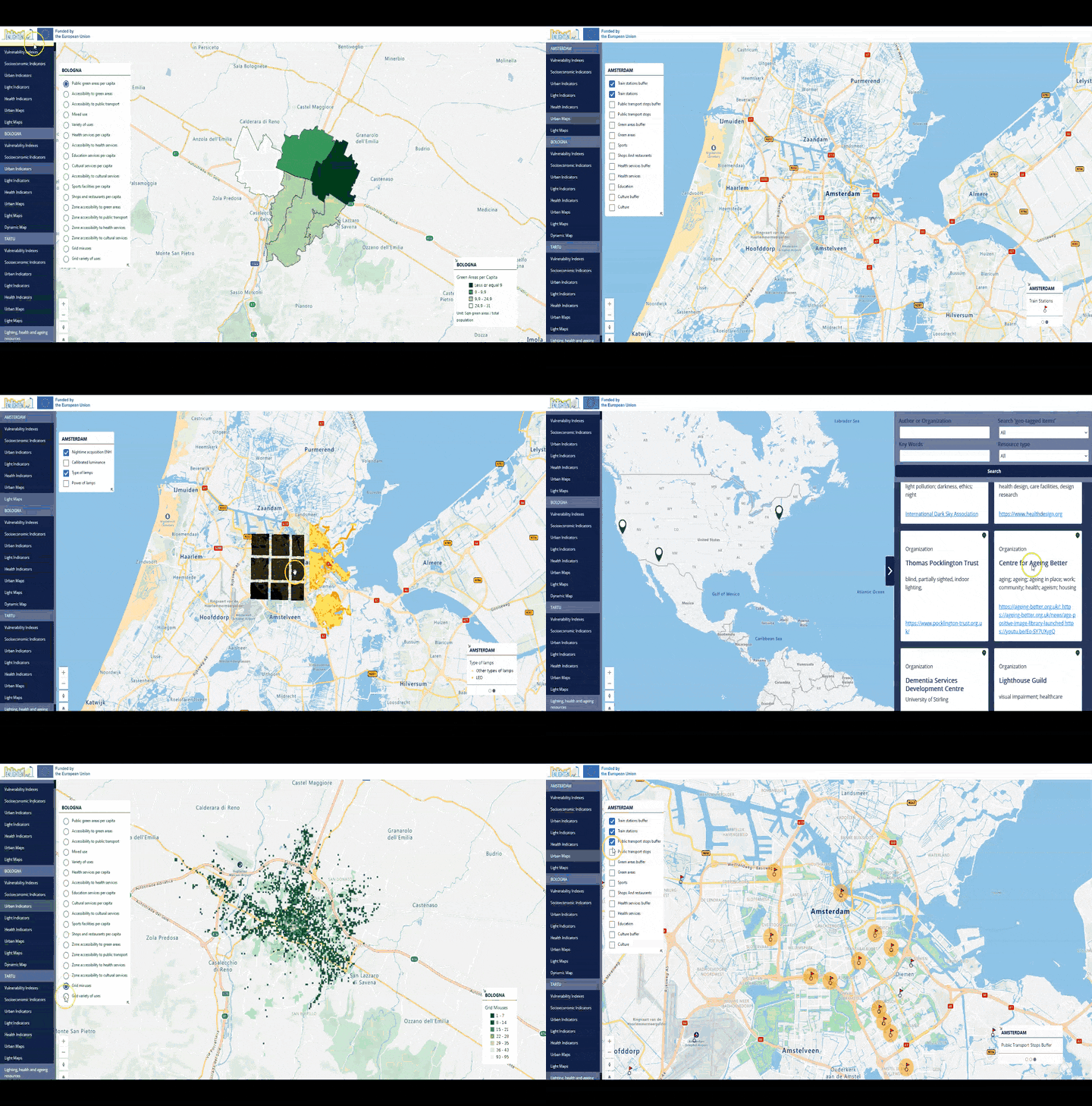
We use the potential of digital twins and Artificial Intelligence to visualise and analyse the level of accessibility and friendliness of a city’s neighbourhoods for the elderly.
- It provides municipal politicians and technicians with accurate information to enable them to make decisions when prioritising actions to improve urban accessibility in different areas of the city.
- It identifies the optimal location for the installation of assistance devices, such as urban lifts or mechanical ramps.